

Walk 6: Moorside and Millstones
Start & Finish – The Memorial Hall, Main Street, Addingham, LS29 0LZ, SE 079 497.
Full walk – 5 miles (8km), height gain 830ft (272m).
With shortcut A – 4 miles (6.2Km), height gain 672ft (202m).
With shortcut B – 3 miles (4.8Km), height gain 670ft (202m). Ordnance Survey Maps – Explorer 297 or Landranger 104
Introduction:
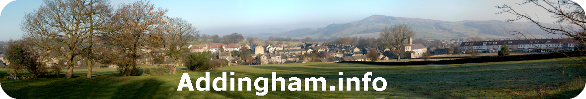
The full walk is one of the more energetic in this book but the views over Addingham and up Wharfedale, and the sight of the millstone quarry, the Doubler Stones (photograph below), and the many traditional farmhouses, make it well worth the effort. The going is fairly gently uphill across meadows until the Moorside Road is crossed, when it becomes steeper. These often flower-rich upland meadows and heather moorland are valuable habitats for wading birds and echo to the sound of lapwing and curlew from the spring onwards. Please avoid disturbing ground nesting or foraging birds. You should carry appropriate outdoor clothing. The ground may be muddy in places so good footwear is essential.
Walk 6 route details here: Walk 6 Web