
Walk 8: Counter Hill & Round Dykes
Start & Finish: Townhead Trading Estate, Main Street, Addingham LS29 0PD, SE 072499
Full walk: 4¾ miles Shorter walk: 3 miles
Height gain (full walk): 575ft
OS Maps:Explorer 297 (except for a small section) or Landranger 104
Introduction:
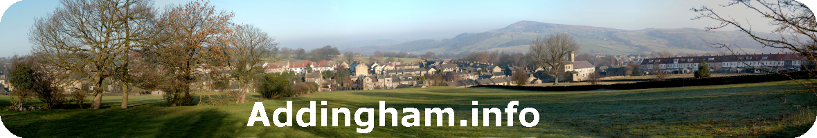
There was a lot of pre-historic activity around Addingham – witness all the enigmatic ‘cup & ring’ stones, and other remains, on Rombald’s Moor – and this walk goes through another ‘hot spot’, on Addingham Low Moor with Tumuli, Enclosures and the striking Round Dykes. The walk starts at Townhead Mill trading estate at the top of Main Street, follows Marchup Beck to the Daniel Palmer Nature Reserve at Marchup Ghyll, continuing along Parson’s Lane up to Addingham Low Moor and then looping back to view Round Dykes and finishing close to Heathness Gill back to the village. There is a shorter variation for those with less time or energy. The going is gently uphill, to begin with, and along tracks, footpaths or across grassy meadows but parts of this walk can get very muddy and it is not recommended in wet weather without suitable footwear and some of the wall stiles can be difficult, especially for those with short legs, unless aided.
Walk 8 route details here: Walk 8 Web